

Kabul/Tibet: Earthquakes rattled parts of Asia late on Monday night, with Afghanistan recording a magnitude 4.1 tremor and Tibet experiencing a 3.2 quake, according to the National Center for Seismology (NCS).
In Afghanistan, the earthquake struck at a depth of 180 kilometres. The NCS confirmed on X, “EQ of M: 4.1, On: 06/10/2025 20:12:21 IST, Lat: 36.64 N, Long: 70.88 E, Depth: 180 Km, Location: Afghanistan.”
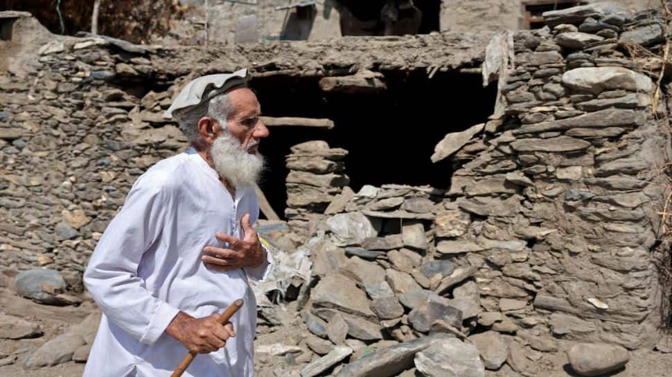
This comes after a shallower 3.9-magnitude quake hit the region on September 28 at a depth of just 10 kilometres, making it prone to aftershocks. The NCS posted, “EQ of M: 3.9, On: 28/09/2025 04:16:13 IST, Lat: 34.62 N, Long: 70.84 E, Depth: 10 Km, Location: Afghanistan.”
Shallow earthquakes tend to be more hazardous than deep ones. Seismic waves have less distance to travel to the surface, producing stronger shaking, potentially more structural damage and higher casualties.
India has reiterated its commitment to aid Afghanistan amid these challenges. On September 18, Ambassador Harish Parvathaneni, India’s Permanent Representative to the United Nations, told the Security Council, “We believe in the utmost importance of international and regional consensus and cooperation on key issues concerning Afghanistan and actively engage with all relevant parties to promote peace, stability and development in the country.”
He added, “India’s immediate priorities in Afghanistan include provision of humanitarian assistance and implementation of capacity-building initiatives for the Afghan people.”
The ambassador also reaffirmed support for the UN Assistance Mission in Afghanistan (UNAMA) and thanked SRSG Roza Otunbayeva for her briefing.
Meanwhile, Tibet also experienced a magnitude 3.7 quake on October 6 night at 10 kilometres depth. The NCS records show, “EQ of M: 3.7, On: 02/10/2025 05:49:04 IST, Lat: 28.42 N, Long: 87.26 E, Depth: 10 Km, Location: Tibet.”
The Tibetan Plateau is highly seismically active due to the collision of the Indian tectonic plate with the Eurasian plate. This ongoing tectonic push not only creates earthquakes but also drives the uplift of the Himalayas.
Faults in the northern plateau mainly show strike-slip activity, while the south experiences east-west extension along north-south trending normal faults. Satellite imagery from the late 1970s and 1980s first mapped seven major rifts and normal faults in southern Tibet, forming 4 to 8 million years ago.
Historically, Tibet has seen some of the region’s largest earthquakes, reaching magnitudes of 8.0 or higher along strike-slip faults. Smaller normal faulting earthquakes also occur, including five events between magnitudes 5.9 and 7.1 in 2008 at various locations across the plateau.
The recent tremors in Afghanistan and Tibet highlight the ongoing seismic vulnerability of these regions. Shallow quakes, combined with existing infrastructural challenges, heighten the risk to local communities and demand preparedness measures, humanitarian support and vigilant monitoring.