

Jammu and Kashmir Weather Update: The weather in Jammu and Kashmir turned winter land as Razdan Top received fresh snowfall, while rain lashed parts of Srinagar on Monday morning.
The India Meteorological Department had forecasted ‘heavy rainfall, light to moderate rainfall, thunderstorm accompanied with lightning and gusty winds (30-40kmph)’ in Srinagar.
Visuals From Jammu And Kashmir
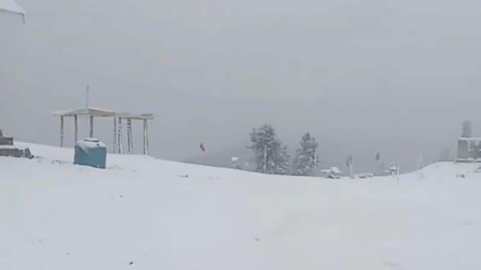
Visuals from Razdan Top showed fresh snowfall covering the region in a blanket of white.
#WATCH | J&K | Razdan Top in Bandipora turns into a white wonderland as the region receives a fresh spell of snow. pic.twitter.com/pYi1aNQXSZ
— ANI (@ANI) October 6, 2025
On the other hand, parts of Jammu and Kashmir received rainfall.
#WATCH | Rain lashes parts of Jammu and Kashmir; visuals from Bhaderwah. pic.twitter.com/xxiHHQz2zu
— ANI (@ANI) October 6, 2025
Srinagar Rainfall
Srinagar city also witnessed rainfall on Monday.
#WATCH | Jammu and Kashmir: Rain lashes parts of Srinagar city.
India Meteorological Department forecasted ‘Heavy Rainfall, Light to Moderate Rainfall, Thunderstorm accompanied with lightning & gusty winds(30-40kmph)’ in Srinagar today pic.twitter.com/I3fdgFiK5t
— ANI (@ANI) October 6, 2025
The forecast for October 6 says temperatures will remain around a high of 12 degrees Celsius, with a 65 percent chance of heavy rain during the day.
The Vaishno Devi Yatra was suspended until at least October 8. All government and private schools in the Jammu division have been ordered to close on October 6 and 7 due to the heavy rainfall alert. Residents and tourists are advised to be vigilant and postpone any unnecessary travel, especially towards hilly terrains. Farmers have been advised to halt all farming operations.
Jammu Weather, Traffic, And School Closure
The Jammu Traffic Police have issued an advisory stating that no Srinagar-bound light motor vehicles (LMVs) will be allowed from Jammu via National Highway (NH) 44.
pic.twitter.com/1NnM3WMcuH
— Traffic Police City Jammu (@traffic_jammu) October 5, 2025
The Jammu and Kashmir government has ordered the closure of schools in the Jammu division following the IMD forecast of heavy rainfall in Jammu.
According to the circular issued by the government, all government and private schools in Jammu will be closed from October 6 to 7.
Jammu-Kashmir Snowfall
According to an IANS report dated October 3, 2025, the Meteorological (MeT) Department issued an adverse weather advisory forecasting rain in the plains and snow in the higher reaches of Jammu and Kashmir and adjoining areas beginning on Saturday (October 4).
The advisory, issued on Friday, said that a strong western disturbance is approaching J&K and adjoining areas, under whose effect light to moderate rain in the plains and snow in the higher reaches is likely to occur from October 4 to 7, with peak activity during the night of October 5 to the morning of October 7.
The Kongdoori area in the Gulmarg ski resort received the season’s first significant snowfall. The Affarwat peak also received snow. Snowfall has also been reported in Sonamarg, Sinthan Top, and Pir Ki Gali.
The IMD has predicted 4 to 10 inches of snow over these passes, with the intensity expected to be highest in southern Kashmir.
(with agencies’ inputs)